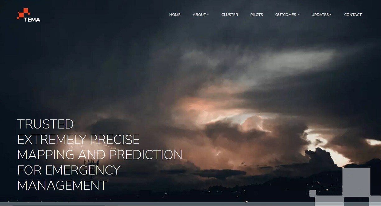
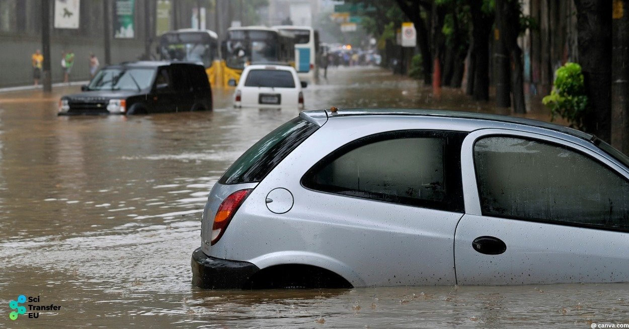
Across Europe, the increasing frequency and intensity of wildfires and floods highlight a critical need: faster, more precise, and more reliable information during emergencies. The Horizon Europe project TEMA — Trusted Extremely Precise Mapping and Prediction for Emergency Management — responds to this challenge by integrating advanced technologies into a unified platform designed to support frontline responders.
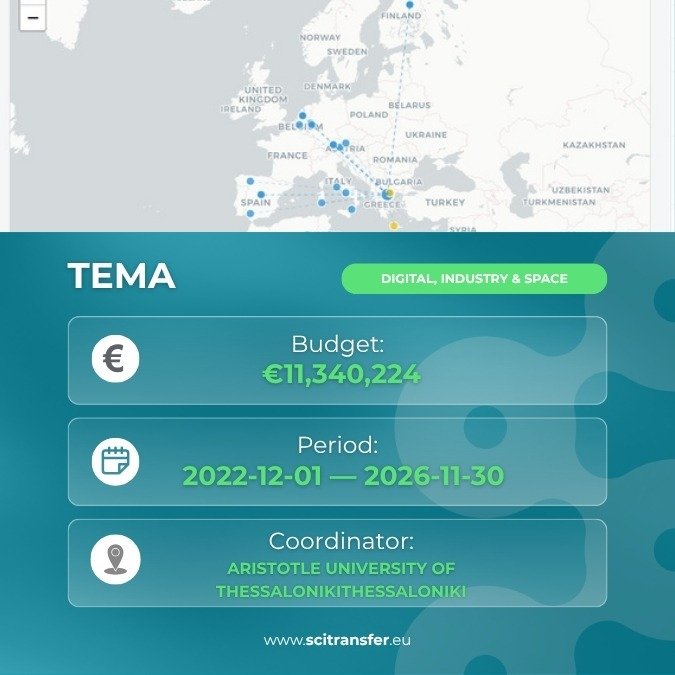
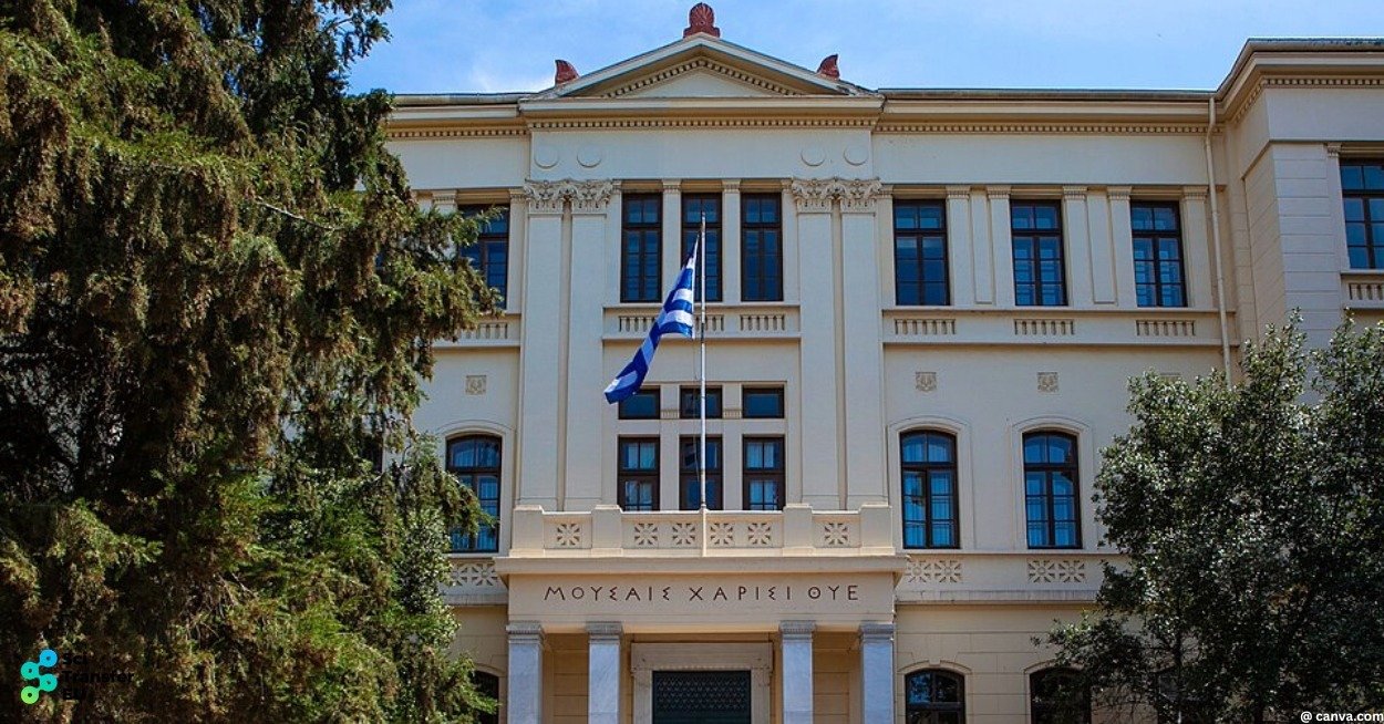
With a budget of over €11.3 million under the Horizon Europe Research and Innovation Actions programme, TEMA represents a significant investment in next-generation disaster management. Coordinated by the Aristotle University of Thessaloniki and involving 23 partners, the project runs from December 2022 to November 2026 and contributes to advancing digital and AI-driven solutions within its funding domain.
At its core, TEMA aims to transform how emergency situations are understood, predicted, and managed. It delivers near real-time, semantically enriched 3D maps of disaster areas while forecasting how events are likely to evolve. The result is actionable intelligence delivered at the critical moments when decisions matter most.
From Fragmented Data to a Unified Operational Picture
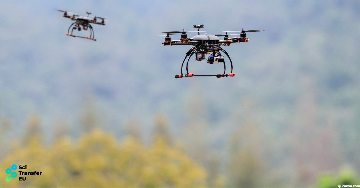
Disaster management is inherently complex, with data originating from multiple heterogeneous sources — including drones, ground sensors, satellites, meteorological services, and social media. These inputs vary in format, reliability, and timeliness, making integration a persistent challenge.
TEMA addresses this by fusing these diverse data streams into a coherent system. Smart drones and in-situ sensors capture real-time ground conditions, while satellite and topographical data provide broader spatial context. Meteorological forecasts add predictive depth, and geosocial media — including text, images, and video — enhances situational awareness through citizen-generated insights.
The platform continuously generates a semantically annotated 3D representation of the affected area. Rather than simply visualising geography, it interprets it — using artificial intelligence to identify risks, detect patterns, and extract meaning from raw data in real time.
Predictive Intelligence for Proactive Response
Beyond real-time mapping, TEMA introduces advanced predictive capabilities. By processing large, fast-changing, and multi-resolution datasets, the platform models how disasters such as wildfires and floods are likely to evolve.
This predictive capacity enables a shift from reactive to proactive emergency management. Decision-makers can anticipate developments, allocate resources more effectively, and act earlier to mitigate impact.
To support these time-critical operations, TEMA distributes computation across an edge-to-cloud architecture. This approach reduces latency and ensures rapid delivery of insights, even in demanding operational environments.
Crucially, the platform integrates explainable artificial intelligence (XAI), allowing users to understand how predictions are generated. This transparency is essential for building trust in high-stakes decision-making contexts.
Immersive Decision Support Through Extended Reality
A distinctive feature of TEMA is its use of Extended Reality (XR) to present complex data in an intuitive and interactive format. Emergency responders can explore evolving situations within immersive environments and assess potential response strategies before deploying them in the field.
This interactive approach enhances both operational planning and communication among stakeholders, including civil protection authorities, emergency services, and technical experts.
By making advanced analytics accessible and actionable, TEMA helps bridge the gap between technological capability and real-world usability.
For a visual overview of the project, explore the consortium’s materials on its official LinkedIn channel.
Real-World Validation Across Europe
TEMA’s solutions are being validated through pilot use cases in four European countries, focusing on two major climate-related hazards: wildfires and floods.
These real-world demonstrations ensure that the platform is tested under operational conditions, enabling continuous refinement and adaptation to diverse environmental and institutional contexts.
The project is also laying the groundwork for a scalable service model — Natural Disaster Management Analytics-as-a-Service (NDM-AaaS) — which will facilitate broader uptake of its capabilities across Europe.
Advancing Research and Delivering Societal Impact
TEMA contributes to the state of the art across multiple domains, including:
- Multimodal data fusion
- Real-time semantic mapping
- Extreme-scale data analytics
- Explainable artificial intelligence
By addressing challenges related to scale, heterogeneity, and real-time processing, the project strengthens Europe’s research and innovation landscape.
Its societal impact is equally significant. Improved situational awareness enables more effective emergency response, reduces damage, and ultimately helps save lives. Enhanced predictive capabilities support better preparedness, while improved communication tools strengthen coordination across response teams.
As climate-related disasters become more frequent and severe, such capabilities are increasingly essential.
Looking Ahead
As TEMA progresses toward completion in 2026, it stands as a strong example of how European collaboration can deliver practical solutions to complex global challenges.
By integrating drones, sensors, AI, and immersive technologies into a unified system, TEMA transforms data into insight — and insight into action.
In doing so, it demonstrates how Europe can strengthen its resilience and improve its capacity to respond to disasters in an increasingly uncertain world.
Autor: Radoslav Todorov
Images: canva.com, scitransfer.eu, tema-project.eu
Sources:
- https://tema-project.eu/
- https://cordis.europa.eu/project/id/101093003
- https://civil-protection-knowledge-network.europa.eu/projects/tema
- https://www.linkedin.com/posts/tema-project_introducing-horizon-europe-project-tema-activity-7221427427409817601-_JSm/
- https://map.scitransfer.eu/project/tema-101093003