Across Europe, cities are increasingly on the front line of climate change. Rising temperatures, intensifying heatwaves, and persistent air pollution are no longer abstract projections—they are everyday realities affecting millions of citizens.
Against this backdrop, the Horizon Europe project UrbanAIR is working to transform how cities understand and respond to these challenges. With a budget of over €14.2 million and coordinated by TU Delft (Netherlands), the project is developing a powerful new tool: a digital twin of the urban atmosphere designed to support smarter, healthier urban planning.
A Decision-Support Tool for Complex Urban Challenges
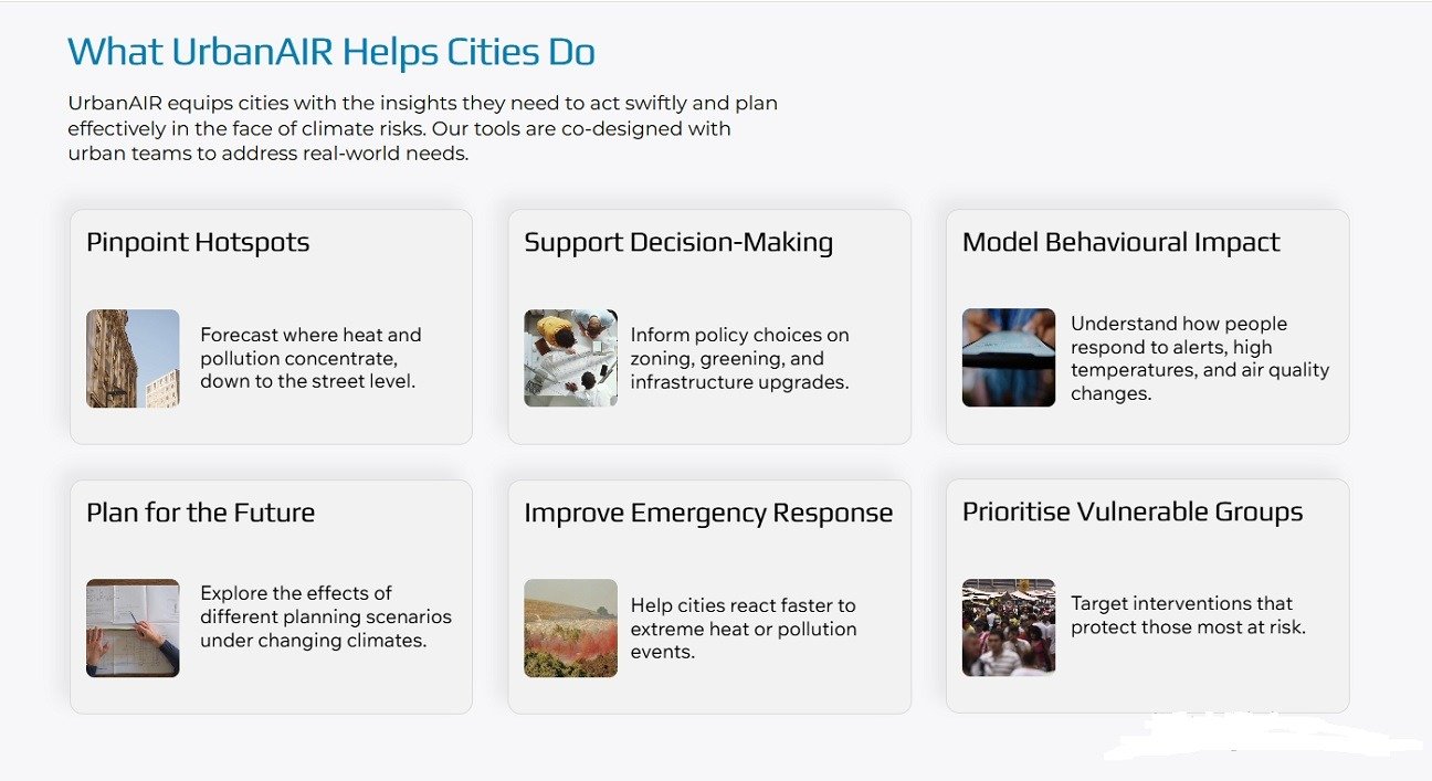
At its core, UrbanAIR addresses a fundamental challenge: urban decision-making under complexity. Cities are shaped by overlapping environmental, social, and economic dynamics, forcing planners to navigate difficult trade-offs.
How can neighbourhoods remain liveable during extreme heat?
How can air pollution be reduced without restricting mobility?
How can interventions benefit all citizens equitably?
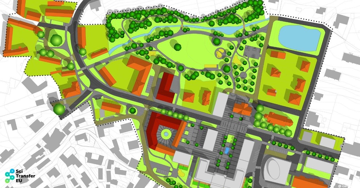
UrbanAIR responds by developing a high-resolution digital twin platform capable of simulating air quality and urban heat across multiple scales—from regional systems down to individual neighbourhoods—enabling more informed, evidence-based decisions.
What Is an Urban Atmospheric Digital Twin?
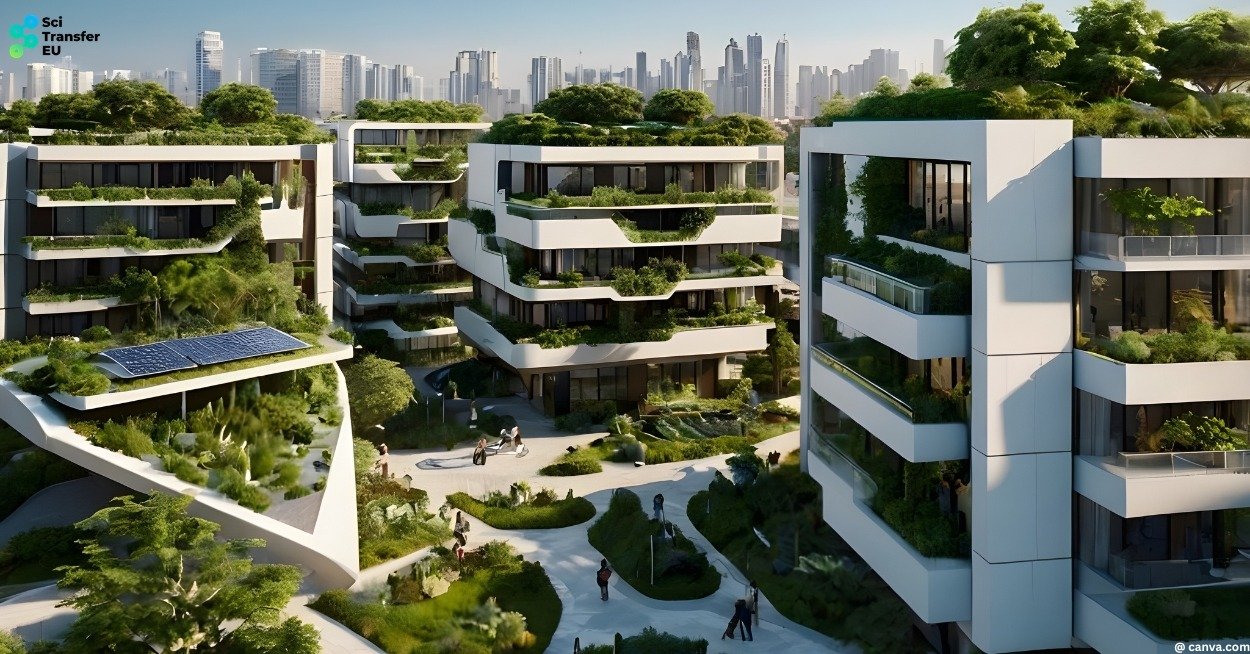
In this context, a digital twin is a dynamic virtual representation of a city’s atmosphere. It allows users to test urban design scenarios and assess their impacts before implementation.
For example, planners can evaluate how:
- Introducing green infrastructure affects heat islands
- Modifying building layouts influences airflow
- Redesigning street configurations improves air quality
By turning complex environmental data into actionable insights, UrbanAIR moves beyond traditional modelling towards a practical, user-oriented platform tailored to municipalities and industry stakeholders.
Multi-Scale Modelling: From Regional Patterns to Street-Level Detail
A defining feature of UrbanAIR is its multi-scale modelling capability. The platform integrates atmospheric models operating seamlessly across different levels—from broad regional dynamics to highly detailed local conditions.
This is enabled by advanced software interfaces that support modular model coupling, ensuring both flexibility and precision. Such an approach is essential: urban climate phenomena are interconnected, with regional weather patterns shaping city conditions and local design determining how those conditions are experienced.
AI-Enhanced Simulation and Data Integration
High-resolution modelling typically comes with significant computational costs. UrbanAIR addresses this through AI-based emulators, which accelerate simulations while maintaining accuracy.
These are combined with advanced data assimilation techniques, integrating real-world observations to improve model reliability and quantify uncertainty. The result is not just predictive capability, but transparent risk assessment—a critical requirement for evidence-based policymaking.
Integrating Human Behaviour into Climate Modelling
UrbanAIR goes beyond physical modelling by incorporating human behaviour dynamics. Climate adaptation depends not only on infrastructure but also on how people respond to environmental conditions.
By simulating behavioural responses to heat and pollution, the platform produces more realistic scenarios and supports more balanced, socially relevant decisions.
Contributing to Europe’s Digital and Climate Ambitions
UrbanAIR is closely aligned with the EU’s broader strategic initiatives, particularly Destination Earth, which aims to create a highly accurate digital model of the planet.
By delivering urban-scale insights, UrbanAIR helps bridge the gap between global climate modelling and local decision-making, strengthening Europe’s integrated digital and research ecosystem.
A Strong Focus on End Users
A key strength of UrbanAIR is its end-user-driven approach. Municipalities and industry stakeholders are actively involved through co-creation processes, ensuring that the platform remains practical, accessible, and aligned with real-world needs.
This focus on usability is essential: even the most advanced tools only deliver value when they can be effectively applied in practice.
Delivering Societal and Economic Impact
UrbanAIR’s potential benefits are substantial. By helping cities anticipate and mitigate heat and air pollution, the project contributes directly to:
- Improved public health and reduced heat-related risks
- Lower healthcare costs
- Enhanced urban liveability
- Greater climate resilience and economic stability

Scientific Excellence and European Collaboration
From a scientific perspective, UrbanAIR advances the state of the art in urban climate modelling by combining AI, high-resolution simulation, and behavioural analysis.
The project brings together 18 partners across the value chain, spanning academia, technology development, and implementation. This interdisciplinary collaboration ensures that innovation is both scientifically robust and practically applicable.
Timeline and Next Steps
UrbanAIR launched in January 2025 and will run until December 2028. While still in its early stages, the project has established a clear vision: to equip cities with the tools needed to navigate an increasingly uncertain climate future.
Upcoming outputs—including digital tools, scenario simulations, and communication materials—will play an important role in shaping urban climate strategies across Europe.
https://www.youtube.com/watch?v=2PFLWFv-_VM
Autor: Radoslav Todorov
Images: canva.com, scitransfer.eu
Sources: